Queen Margaret Drive
Introduction
The photograph on this page of Queen Margaret Drive by Richard Sutcliffe as part of the Geograph project.
The Geograph project started in 2005 with the aim of publishing, organising and preserving representative images for every square kilometre of Great Britain, Ireland and the Isle of Man.

There are currently over 7.5m images from over 14,400 individuals and you can help contribute to the project by visiting https://www.geograph.org.uk
Queen Margaret Drive
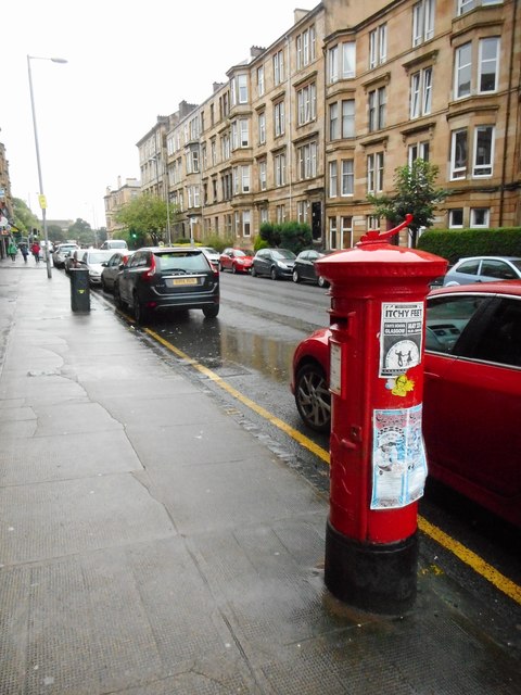
Image: © Richard Sutcliffe Taken: 3 Sep 2017
Yellow sandstone tenements on the western side of the road. The George V pillar box is postbox number G20 436.
Images are licensed for reuse under creativecommons.org/licenses/by-sa/2.0
Image Location
Latitude
55.880861
Longitude
-4.284195