Radway Tower
Introduction
The photograph on this page of Radway Tower by Janine Forbes as part of the Geograph project.
The Geograph project started in 2005 with the aim of publishing, organising and preserving representative images for every square kilometre of Great Britain, Ireland and the Isle of Man.

There are currently over 7.5m images from over 14,400 individuals and you can help contribute to the project by visiting https://www.geograph.org.uk
Radway Tower
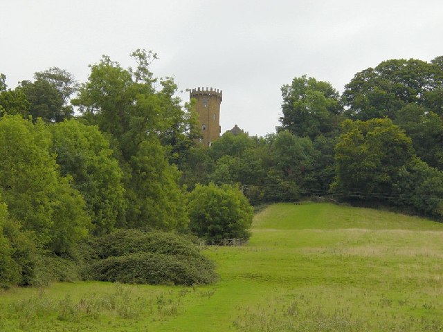
Image: © Janine Forbes Taken: 18 Sep 2005
Looking SE. A folly and copy of Warwick Castle built in 1742 to commemorate the battle of Edgehill between King Charles I and Parliament in 1642. The Tower is now part of the Castle Inn.
Images are licensed for reuse under creativecommons.org/licenses/by-sa/2.0
Image Location


Leaflet Map data © OpenStreetMap
Latitude
52.123373
Longitude
-1.456599