Grange Beck, Didcot
Introduction
The photograph on this page of Grange Beck, Didcot by Jaggery as part of the Geograph project.
The Geograph project started in 2005 with the aim of publishing, organising and preserving representative images for every square kilometre of Great Britain, Ireland and the Isle of Man.

There are currently over 7.5m images from over 14,400 individuals and you can help contribute to the project by visiting https://www.geograph.org.uk
Grange Beck, Didcot
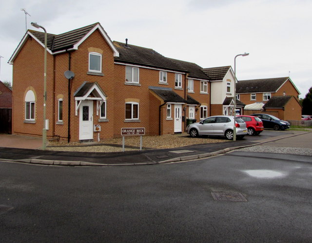
Image: © Jaggery Taken: 3 Sep 2017
Cul-de-sac on the northeast side of the road named Venners Water. http://www.geograph.org.uk/photo/5523617
Images are licensed for reuse under creativecommons.org/licenses/by-sa/2.0
Image Location
Latitude
51.615687
Longitude
-1.233903