Long Mains, Monkton
Introduction
The photograph on this page of Long Mains, Monkton by Stephen McKay as part of the Geograph project.
The Geograph project started in 2005 with the aim of publishing, organising and preserving representative images for every square kilometre of Great Britain, Ireland and the Isle of Man.

There are currently over 7.5m images from over 14,400 individuals and you can help contribute to the project by visiting https://www.geograph.org.uk
Long Mains, Monkton
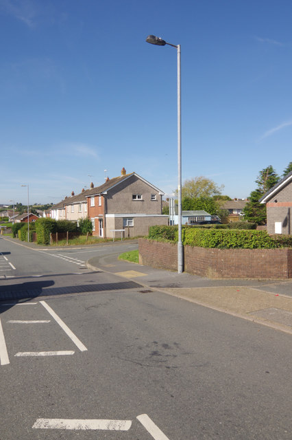
Image: © Stephen McKay Taken: 27 Aug 2017
Housing estate on the western edge of Pembroke. Monkton was largely redeveloped in the 1970s, providing housing for workers at the power station and oil refinery to the west. This view shows Long Mains with Montgomery Close leading off to the right.
Images are licensed for reuse under creativecommons.org/licenses/by-sa/2.0
Image Location
Latitude
51.674114
Longitude
-4.931268