Limb Fitting Centre
Introduction
The photograph on this page of Limb Fitting Centre by John M as part of the Geograph project.
The Geograph project started in 2005 with the aim of publishing, organising and preserving representative images for every square kilometre of Great Britain, Ireland and the Isle of Man.

There are currently over 7.5m images from over 14,400 individuals and you can help contribute to the project by visiting https://www.geograph.org.uk
Limb Fitting Centre
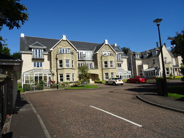
Image: © John M Taken: 1 Sep 2017
The buildings in Bader Close were used as an auxiliary hospital during the Great War and stayed in use as a limb fitting centre.
Images are licensed for reuse under creativecommons.org/licenses/by-sa/2.0
Image Location
Latitude
56.468751
Longitude
-2.87676