An enclosed footpath from Wakefield Road, Waterloo that leads to Morrisons Supermarket
Introduction
The photograph on this page of An enclosed footpath from Wakefield Road, Waterloo that leads to Morrisons Supermarket by Peter Wood as part of the Geograph project.
The Geograph project started in 2005 with the aim of publishing, organising and preserving representative images for every square kilometre of Great Britain, Ireland and the Isle of Man.

There are currently over 7.5m images from over 14,400 individuals and you can help contribute to the project by visiting https://www.geograph.org.uk
An enclosed footpath from Wakefield Road, Waterloo that leads to Morrisons Supermarket
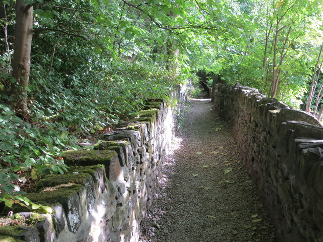
Image: © Peter Wood Taken: 30 Aug 2017
Looking south-eastward.
Images are licensed for reuse under creativecommons.org/licenses/by-sa/2.0
Image Location
Latitude
53.643788
Longitude
-1.729942