Steelwork at the top of Ilkeston Road
Introduction
The photograph on this page of Steelwork at the top of Ilkeston Road by John Sutton as part of the Geograph project.
The Geograph project started in 2005 with the aim of publishing, organising and preserving representative images for every square kilometre of Great Britain, Ireland and the Isle of Man.

There are currently over 7.5m images from over 14,400 individuals and you can help contribute to the project by visiting https://www.geograph.org.uk
Steelwork at the top of Ilkeston Road
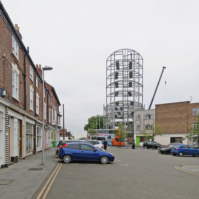
Image: © John Sutton Taken: 29 Aug 2017
This little section of Ilkeston Road was cut off from the rest (ahead) when the Canning Circus one-way system was created many years ago.
Images are licensed for reuse under creativecommons.org/licenses/by-sa/2.0
Image Location
Latitude
52.955864
Longitude
-1.162806