Southport Terrace
Introduction
The photograph on this page of Southport Terrace by John Sutton as part of the Geograph project.
The Geograph project started in 2005 with the aim of publishing, organising and preserving representative images for every square kilometre of Great Britain, Ireland and the Isle of Man.

There are currently over 7.5m images from over 14,400 individuals and you can help contribute to the project by visiting https://www.geograph.org.uk
Southport Terrace
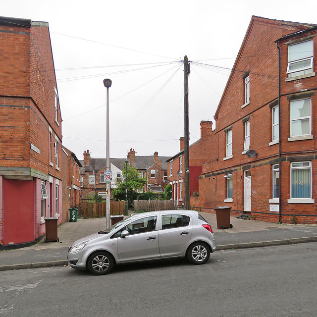
Image: © John Sutton Taken: 29 Aug 2017
Houses off Berridge Road West, opposite Berridge Primary School. House backs on Grundy Street show beyond.
Images are licensed for reuse under creativecommons.org/licenses/by-sa/2.0
Image Location
Latitude
52.964961
Longitude
-1.178115