Beaufort Arms, Gilwern
Introduction
The photograph on this page of Beaufort Arms, Gilwern by Jaggery as part of the Geograph project.
The Geograph project started in 2005 with the aim of publishing, organising and preserving representative images for every square kilometre of Great Britain, Ireland and the Isle of Man.

There are currently over 7.5m images from over 14,400 individuals and you can help contribute to the project by visiting https://www.geograph.org.uk
Beaufort Arms, Gilwern
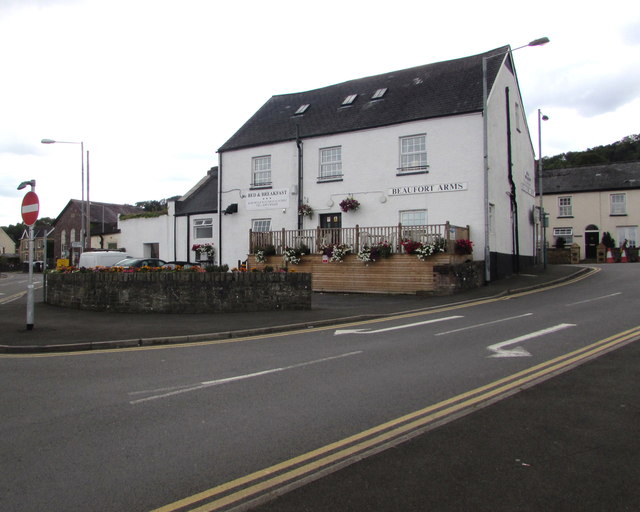
Image: © Jaggery Taken: 13 Aug 2017
Located inside a triangle bordered by Crickhowell Road, Main Road, and the short connecting road between them. Originally a coaching inn, the Beaufort Arms is now a pub with bed & breakfast accommodation, bar meals and Sunday lunches available.
Images are licensed for reuse under creativecommons.org/licenses/by-sa/2.0
Image Location
Latitude
51.825109
Longitude
-3.093559