Looking down Beake Avenue from the junction with Rylston Avenue
Introduction
The photograph on this page of Looking down Beake Avenue from the junction with Rylston Avenue by Dave and Vicky as part of the Geograph project.
The Geograph project started in 2005 with the aim of publishing, organising and preserving representative images for every square kilometre of Great Britain, Ireland and the Isle of Man.

There are currently over 7.5m images from over 14,400 individuals and you can help contribute to the project by visiting https://www.geograph.org.uk
Looking down Beake Avenue from the junction with Rylston Avenue
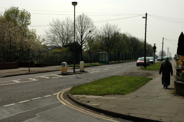
Image: © Dave and Vicky Taken: 24 Apr 2005
The huge Dunlop factory can be seen just beyond the trees on the left.
Images are licensed for reuse under creativecommons.org/licenses/by-sa/2.0
Image Location


Leaflet Map data © OpenStreetMap
Latitude
52.437259
Longitude
-1.522473