Goldsmith Street and the Masonic Hall
Introduction
The photograph on this page of Goldsmith Street and the Masonic Hall by John Sutton as part of the Geograph project.
The Geograph project started in 2005 with the aim of publishing, organising and preserving representative images for every square kilometre of Great Britain, Ireland and the Isle of Man.

There are currently over 7.5m images from over 14,400 individuals and you can help contribute to the project by visiting https://www.geograph.org.uk
Goldsmith Street and the Masonic Hall
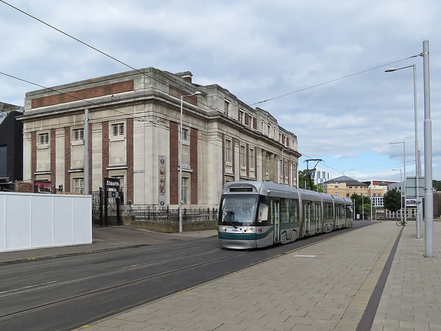
Image: © John Sutton Taken: 31 Aug 2017
A Toton Lane tram passing the Masonic Hall. For comparison, see Alan Murray-Rust's Image] (2008). There has been some demolition since then.
Images are licensed for reuse under creativecommons.org/licenses/by-sa/2.0
Image Location
Latitude
52.956244
Longitude
-1.152974