Peterston Road, Groesfaen
Introduction
The photograph on this page of Peterston Road, Groesfaen by Jaggery as part of the Geograph project.
The Geograph project started in 2005 with the aim of publishing, organising and preserving representative images for every square kilometre of Great Britain, Ireland and the Isle of Man.

There are currently over 7.5m images from over 14,400 individuals and you can help contribute to the project by visiting https://www.geograph.org.uk
Peterston Road, Groesfaen
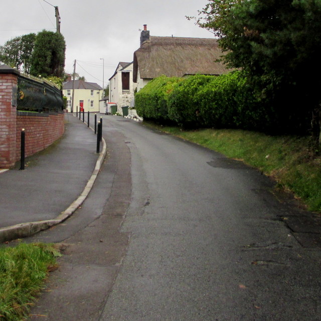
Image: © Jaggery Taken: 29 Aug 2017
The road from Peterston approaches the A4119 Llantrisant Road. The thatched roof on the right is on Church Cottage. http://www.geograph.org.uk/photo/5517937
Images are licensed for reuse under creativecommons.org/licenses/by-sa/2.0
Image Location
Latitude
51.519534
Longitude
-3.34018