Castle Coole [2]
Introduction
The photograph on this page of Castle Coole [2] by Michael Dibb as part of the Geograph project.
The Geograph project started in 2005 with the aim of publishing, organising and preserving representative images for every square kilometre of Great Britain, Ireland and the Isle of Man.

There are currently over 7.5m images from over 14,400 individuals and you can help contribute to the project by visiting https://www.geograph.org.uk
Castle Coole [2]
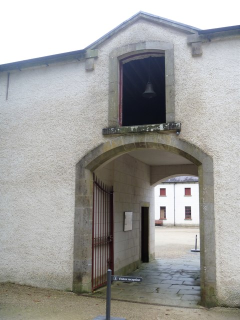
Image: © Michael Dibb Taken: 2 Aug 2017
The west entrance to the main stable yard at Castle Coole. The yard is listed, grade B1 (Details unavailable). Wikipedia has much history and detail at: https://en.wikipedia.org/wiki/Castle_Coole
Images are licensed for reuse under creativecommons.org/licenses/by-sa/2.0
Image Location
Latitude
54.336239
Longitude
-7.599967