Up The Chestnuts, Miskin
Introduction
The photograph on this page of Up The Chestnuts, Miskin by Jaggery as part of the Geograph project.
The Geograph project started in 2005 with the aim of publishing, organising and preserving representative images for every square kilometre of Great Britain, Ireland and the Isle of Man.

There are currently over 7.5m images from over 14,400 individuals and you can help contribute to the project by visiting https://www.geograph.org.uk
Up The Chestnuts, Miskin
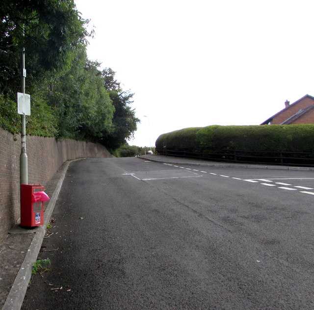
Image: © Jaggery Taken: 29 Aug 2017
The road named The Chestnuts ascends past the right turn into Elms Park. http://www.geograph.org.uk/photo/5516587 Out of shot ahead are The Drive and St David's Road. A red bin for dog waste is on the left.
Images are licensed for reuse under creativecommons.org/licenses/by-sa/2.0
Image Location
Latitude
51.518808
Longitude
-3.371868