Globe Inn
Introduction
The photograph on this page of Globe Inn by John M as part of the Geograph project.
The Geograph project started in 2005 with the aim of publishing, organising and preserving representative images for every square kilometre of Great Britain, Ireland and the Isle of Man.

There are currently over 7.5m images from over 14,400 individuals and you can help contribute to the project by visiting https://www.geograph.org.uk
Globe Inn
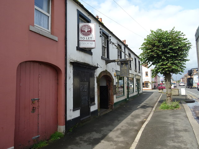
Image: © John M Taken: 24 Aug 2017
The Globe Inn was nationalised during the Great War in the Carlisle and Gretna area to control the supply of alcohol to workers at the nearby explosives factories. State ownership remained until the 1970s.
Images are licensed for reuse under creativecommons.org/licenses/by-sa/2.0
Image Location
Latitude
55.009144
Longitude
-2.972687