Cycle path beside the A689 on the Newton Cap Viaduct
Introduction
The photograph on this page of Cycle path beside the A689 on the Newton Cap Viaduct by JThomas as part of the Geograph project.
The Geograph project started in 2005 with the aim of publishing, organising and preserving representative images for every square kilometre of Great Britain, Ireland and the Isle of Man.

There are currently over 7.5m images from over 14,400 individuals and you can help contribute to the project by visiting https://www.geograph.org.uk
Cycle path beside the A689 on the Newton Cap Viaduct
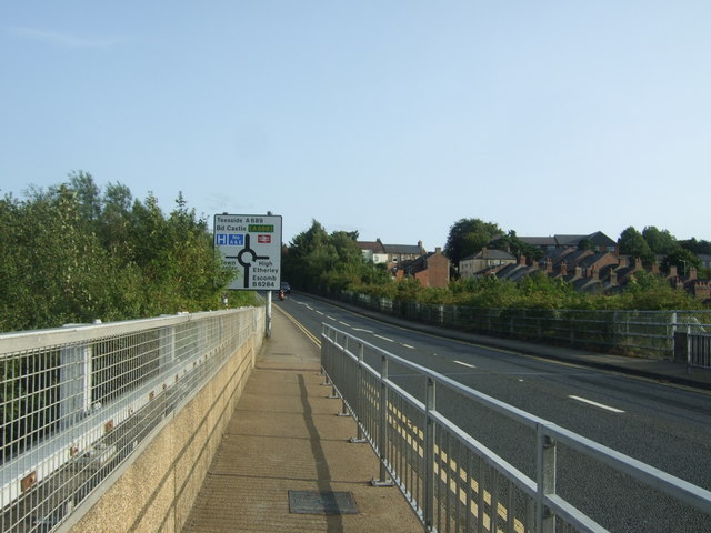
Image: © JThomas Taken: 24 Aug 2017
Looking south east. Originally built as a railway viaduct it closed in 1968 and was re-opened to carry the A689 in 1995.
Images are licensed for reuse under creativecommons.org/licenses/by-sa/2.0
Image Location
Latitude
54.66619
Longitude
-1.68121