St Hilda's, Audenshaw
Introduction
The photograph on this page of St Hilda's, Audenshaw by Gerald England as part of the Geograph project.
The Geograph project started in 2005 with the aim of publishing, organising and preserving representative images for every square kilometre of Great Britain, Ireland and the Isle of Man.

There are currently over 7.5m images from over 14,400 individuals and you can help contribute to the project by visiting https://www.geograph.org.uk
St Hilda's, Audenshaw
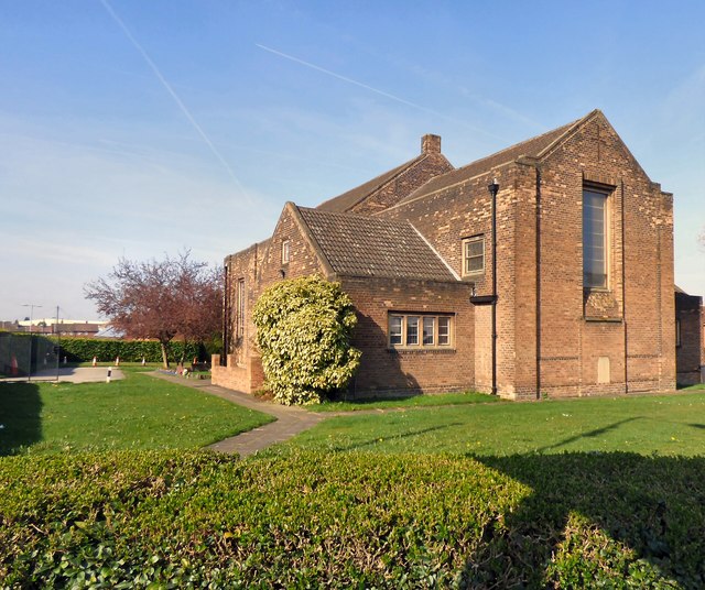
Image: © Gerald England Taken: 27 Mar 2017
A new district of St Hilda's was created in 1924 and a church was built on the current site. It was destroyed by a fire in 1936 and the present church was opened in 1938. For a more detailed history see Audenshaw Local History: http://web.archive.org/web/20170829115549/http://www.audenshawlocalhistory.org.uk/st_hildas.htm Church website: http://www.sainthildas.net/
Images are licensed for reuse under creativecommons.org/licenses/by-sa/2.0
Image Location
Latitude
53.463656
Longitude
-2.117899