Railway Lines from Salusbury Road
Introduction
The photograph on this page of Railway Lines from Salusbury Road by Oxyman as part of the Geograph project.
The Geograph project started in 2005 with the aim of publishing, organising and preserving representative images for every square kilometre of Great Britain, Ireland and the Isle of Man.

There are currently over 7.5m images from over 14,400 individuals and you can help contribute to the project by visiting https://www.geograph.org.uk
Railway Lines from Salusbury Road
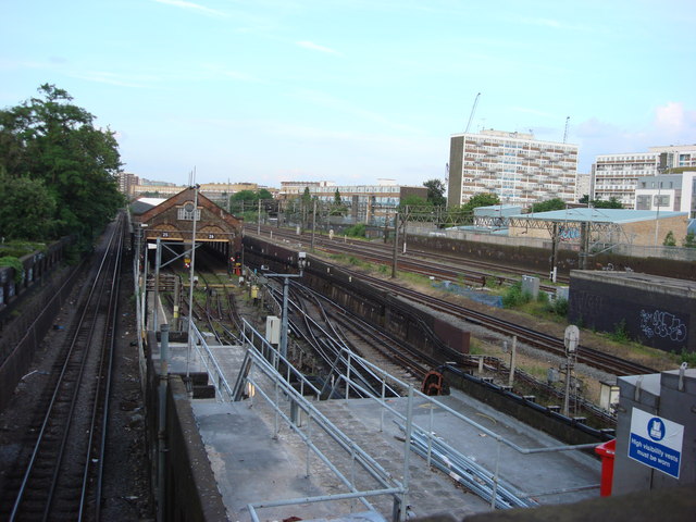
Image: © Oxyman Taken: 4 Jun 2007
The tracks nearest the camera are used by local trains. The tracks in the distance on the left, with the overhead power lines are the West Coast Main Line
Images are licensed for reuse under creativecommons.org/licenses/by-sa/2.0
Image Location
Latitude
51.534473
Longitude
-0.202946