Fitting the sails, Impington Windmill - 2
Introduction
The photograph on this page of Fitting the sails, Impington Windmill - 2 by Gareth Hughes as part of the Geograph project.
The Geograph project started in 2005 with the aim of publishing, organising and preserving representative images for every square kilometre of Great Britain, Ireland and the Isle of Man.

There are currently over 7.5m images from over 14,400 individuals and you can help contribute to the project by visiting https://www.geograph.org.uk
Fitting the sails, Impington Windmill - 2
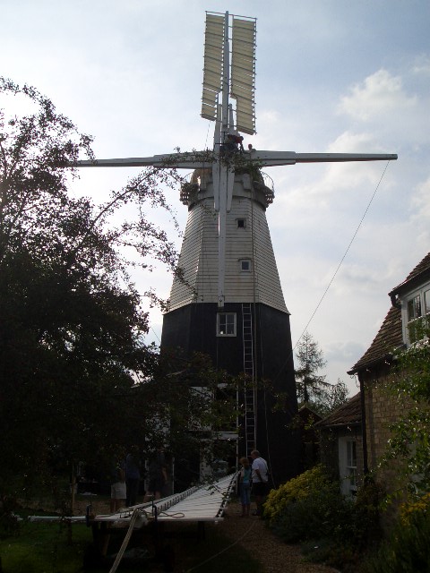
Image: © Gareth Hughes Taken: 9 Sep 2007
A closer view, showing the second sail on its dolly waiting to be hauled into position. Because of the narrow access, the work was done by traditional methods, rather than using a crane. Further pictures of the operation follow in series here: http://www.geograph.org.uk/search.php?i=5090979
Images are licensed for reuse under creativecommons.org/licenses/by-sa/2.0
Image Location
Latitude
52.240291
Longitude
0.109577