Top of Church Lane, Shutford
Introduction
The photograph on this page of Top of Church Lane, Shutford by Chris Brown as part of the Geograph project.
The Geograph project started in 2005 with the aim of publishing, organising and preserving representative images for every square kilometre of Great Britain, Ireland and the Isle of Man.

There are currently over 7.5m images from over 14,400 individuals and you can help contribute to the project by visiting https://www.geograph.org.uk
Top of Church Lane, Shutford
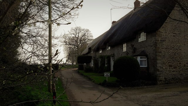
Image: © Chris Brown Taken: 23 Mar 2017
Church Lane and Shutford village end abruptly beyond these attractive cottages.
Images are licensed for reuse under creativecommons.org/licenses/by-sa/2.0
Image Location
Latitude
52.057495
Longitude
-1.438729