West Bay Road houses, Bridport
Introduction
The photograph on this page of West Bay Road houses, Bridport by Jaggery as part of the Geograph project.
The Geograph project started in 2005 with the aim of publishing, organising and preserving representative images for every square kilometre of Great Britain, Ireland and the Isle of Man.

There are currently over 7.5m images from over 14,400 individuals and you can help contribute to the project by visiting https://www.geograph.org.uk
West Bay Road houses, Bridport
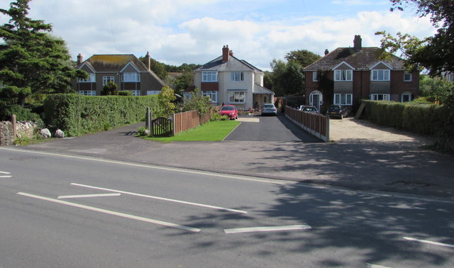
Image: © Jaggery Taken: 25 Aug 2017
Houses set back 40 metres from the east side of West Bay Road, north of the Seaward Gardens junction.
Images are licensed for reuse under creativecommons.org/licenses/by-sa/2.0
Image Location
Latitude
50.716709
Longitude
-2.756771