Looking down Paynesfield Road from Ricketts Hill Road
Introduction
The photograph on this page of Looking down Paynesfield Road from Ricketts Hill Road by Marathon as part of the Geograph project.
The Geograph project started in 2005 with the aim of publishing, organising and preserving representative images for every square kilometre of Great Britain, Ireland and the Isle of Man.

There are currently over 7.5m images from over 14,400 individuals and you can help contribute to the project by visiting https://www.geograph.org.uk
Looking down Paynesfield Road from Ricketts Hill Road
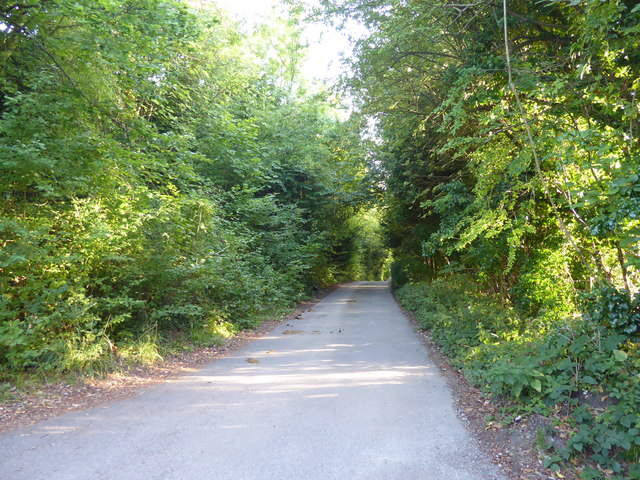
Image: © Marathon Taken: 25 Aug 2017
A notice at the entrance to Paynesfield Road from Ricketts Hill Road here points out that there is "No vehicular access to Tatsfield Village Centre along Paynesfield Road".
Images are licensed for reuse under creativecommons.org/licenses/by-sa/2.0
Image Location
Latitude
51.303618
Longitude
0.034349