Cromford Canal, Langley Mill
Introduction
The photograph on this page of Cromford Canal, Langley Mill by Stephen McKay as part of the Geograph project.
The Geograph project started in 2005 with the aim of publishing, organising and preserving representative images for every square kilometre of Great Britain, Ireland and the Isle of Man.

There are currently over 7.5m images from over 14,400 individuals and you can help contribute to the project by visiting https://www.geograph.org.uk
Cromford Canal, Langley Mill
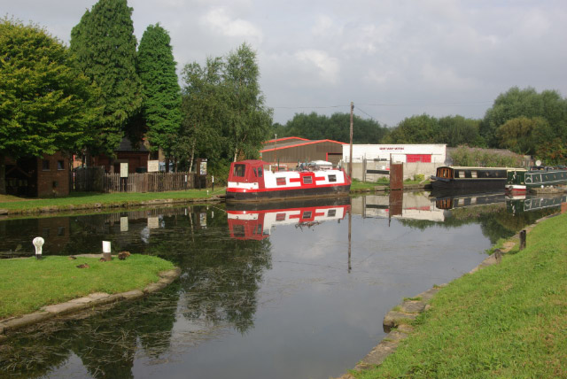
Image: © Stephen McKay Taken: 9 Sep 2007
This was at one time the point where the Nottingham Canal joined the Cromford Canal, which in turn joined the Erewash Canal below the lock out of shot to the left. The Erewash Canal nowadays provides the only navigable access to this location. Until the 1990s this scene would have been in Nottinghamshire rather than Derbyshire, the area technically being known as Langley Bridge. The boundary was changed to follow a more logical course along the Eastwood by-pass rather than the River Erewash thus bringing the whole of Langley Mill into one parish.
Images are licensed for reuse under creativecommons.org/licenses/by-sa/2.0
Image Location
Latitude
53.02054
Longitude
-1.324945