On the edge of Stafford
Introduction
The photograph on this page of On the edge of Stafford by Alan Murray-Rust as part of the Geograph project.
The Geograph project started in 2005 with the aim of publishing, organising and preserving representative images for every square kilometre of Great Britain, Ireland and the Isle of Man.

There are currently over 7.5m images from over 14,400 individuals and you can help contribute to the project by visiting https://www.geograph.org.uk
On the edge of Stafford
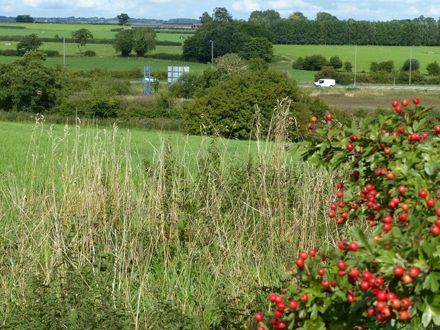
Image: © Alan Murray-Rust Taken: 23 Aug 2017
Looking across the valley of the Marston Brook. The field in the foreground is part of Stafford Common.
Images are licensed for reuse under creativecommons.org/licenses/by-sa/2.0
Image Location


Leaflet Map data © OpenStreetMap
Latitude
52.832274
Longitude
-2.116623