Morton, St Pauls Church
Introduction
The photograph on this page of Morton, St Pauls Church by Brian Westlake as part of the Geograph project.
The Geograph project started in 2005 with the aim of publishing, organising and preserving representative images for every square kilometre of Great Britain, Ireland and the Isle of Man.

There are currently over 7.5m images from over 14,400 individuals and you can help contribute to the project by visiting https://www.geograph.org.uk
Morton, St Pauls Church
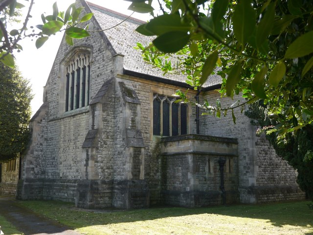
Image: © Brian Westlake Taken: 3 Aug 2017
The north-east angle carries a cut bench mark. See http://www.geograph.org.uk/photo/5508158 for a close-up and http://www.bench-marks.org.uk/bm55035 for details.
Images are licensed for reuse under creativecommons.org/licenses/by-sa/2.0
Image Location
Latitude
53.41383
Longitude
-0.782824