Burial Ground Dunbarney House
Introduction
The photograph on this page of Burial Ground Dunbarney House by Keith Proven as part of the Geograph project.
The Geograph project started in 2005 with the aim of publishing, organising and preserving representative images for every square kilometre of Great Britain, Ireland and the Isle of Man.

There are currently over 7.5m images from over 14,400 individuals and you can help contribute to the project by visiting https://www.geograph.org.uk
Burial Ground Dunbarney House
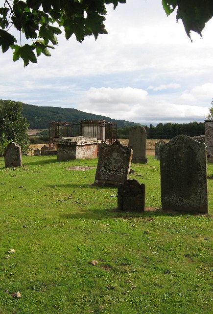
Image: © Keith Proven Taken: 18 Sep 2005
Just above the flood plain, between Dunbarney House and the Earn, the walls of this old graveyard are slowly crumbling away.
Images are licensed for reuse under creativecommons.org/licenses/by-sa/2.0
Image Location


Leaflet Map data © OpenStreetMap
Latitude
56.35409
Longitude
-3.43697