Houses on the west side of Portland Road
Introduction
The photograph on this page of Houses on the west side of Portland Road by Christine Johnstone as part of the Geograph project.
The Geograph project started in 2005 with the aim of publishing, organising and preserving representative images for every square kilometre of Great Britain, Ireland and the Isle of Man.

There are currently over 7.5m images from over 14,400 individuals and you can help contribute to the project by visiting https://www.geograph.org.uk
Houses on the west side of Portland Road
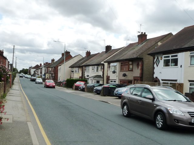
Image: © Christine Johnstone Taken: 19 Aug 2017
When mapped in 1951, this area was called New Portland. It now seems to have morphed into Selston.
Images are licensed for reuse under creativecommons.org/licenses/by-sa/2.0
Image Location
Latitude
53.075292
Longitude
-1.295131