Frizinghall Road
Introduction
The photograph on this page of Frizinghall Road by Keith Edkins as part of the Geograph project.
The Geograph project started in 2005 with the aim of publishing, organising and preserving representative images for every square kilometre of Great Britain, Ireland and the Isle of Man.

There are currently over 7.5m images from over 14,400 individuals and you can help contribute to the project by visiting https://www.geograph.org.uk
Frizinghall Road
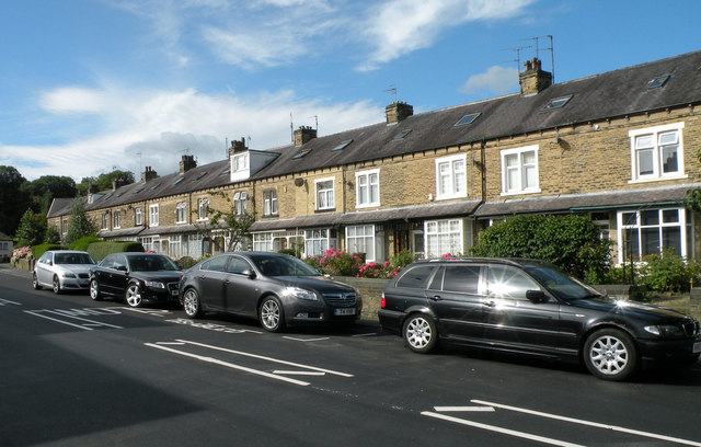
Image: © Keith Edkins Taken: 16 Aug 2017
I was intrigued by the building material of this terrace, which is stone cut into near-brick proportions - probably sandstone, early 1800s.
Images are licensed for reuse under creativecommons.org/licenses/by-sa/2.0
Image Location
Latitude
53.816463
Longitude
-1.771073