Franchise Street, Kidderminster
Introduction
The photograph on this page of Franchise Street, Kidderminster by Chris Allen as part of the Geograph project.
The Geograph project started in 2005 with the aim of publishing, organising and preserving representative images for every square kilometre of Great Britain, Ireland and the Isle of Man.

There are currently over 7.5m images from over 14,400 individuals and you can help contribute to the project by visiting https://www.geograph.org.uk
Franchise Street, Kidderminster
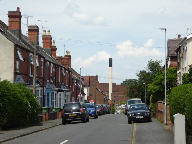
Image: © Chris Allen Taken: 19 Jun 2017
Brinton Park is behind the photographer and Kidderminster Treatment Centre is seen in the distance with its chimney. This used to be Kidderminster General Hospital but was downgraded amidst a local political furore that saw a former consultant physician appointed as the local MP.
Images are licensed for reuse under creativecommons.org/licenses/by-sa/2.0
Image Location
Latitude
52.381837
Longitude
-2.260288