A37 at Wrackleford
Introduction
The photograph on this page of A37 at Wrackleford by Chris Downer as part of the Geograph project.
The Geograph project started in 2005 with the aim of publishing, organising and preserving representative images for every square kilometre of Great Britain, Ireland and the Isle of Man.

There are currently over 7.5m images from over 14,400 individuals and you can help contribute to the project by visiting https://www.geograph.org.uk
A37 at Wrackleford
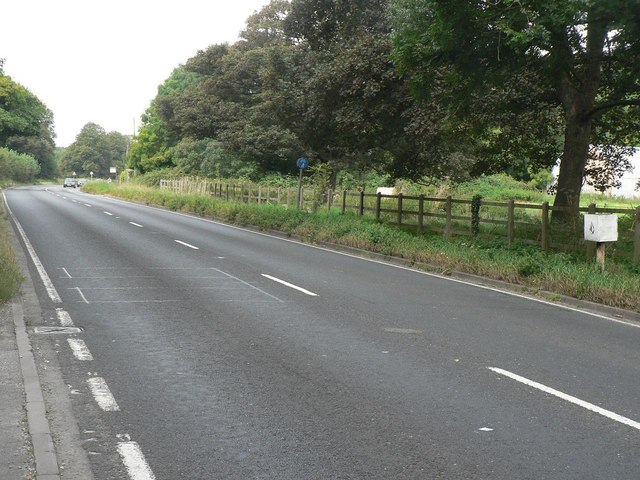
Image: © Chris Downer Taken: 9 Sep 2007
The A37 between Dorchester and Yeovil, with an unidentified item of street furniture far right of picture.
Images are licensed for reuse under creativecommons.org/licenses/by-sa/2.0
Image Location


Leaflet Map data © OpenStreetMap
Latitude
50.737254
Longitude
-2.477083