Railway crossing at the end of Church Lane
Introduction
The photograph on this page of Railway crossing at the end of Church Lane by Evelyn Simak as part of the Geograph project.
The Geograph project started in 2005 with the aim of publishing, organising and preserving representative images for every square kilometre of Great Britain, Ireland and the Isle of Man.

There are currently over 7.5m images from over 14,400 individuals and you can help contribute to the project by visiting https://www.geograph.org.uk
Railway crossing at the end of Church Lane
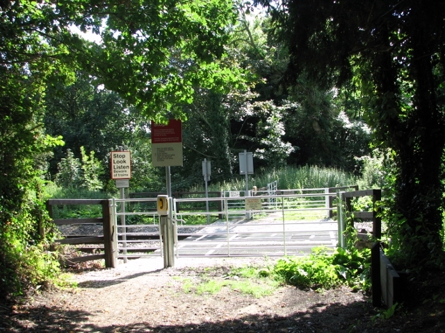
Image: © Evelyn Simak Taken: 17 Aug 2017
The Church Fen local nature reserve starts on the other side of the railway line.
Images are licensed for reuse under creativecommons.org/licenses/by-sa/2.0
Image Location
Latitude
52.622972
Longitude
1.428429