Pencombe to Risbury road
Introduction
The photograph on this page of Pencombe to Risbury road by Richard Webb as part of the Geograph project.
The Geograph project started in 2005 with the aim of publishing, organising and preserving representative images for every square kilometre of Great Britain, Ireland and the Isle of Man.

There are currently over 7.5m images from over 14,400 individuals and you can help contribute to the project by visiting https://www.geograph.org.uk
Pencombe to Risbury road
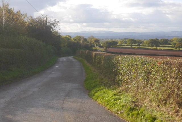
Image: © Richard Webb Taken: 19 Oct 2016
West side of Hegdon Hill with a view towards the High Vinnalls and the Ludlow anticline.
Images are licensed for reuse under creativecommons.org/licenses/by-sa/2.0
Image Location
Latitude
52.182424
Longitude
-2.622571