Llanishen direction sign,Tintern
Introduction
The photograph on this page of Llanishen direction sign,Tintern by Jaggery as part of the Geograph project.
The Geograph project started in 2005 with the aim of publishing, organising and preserving representative images for every square kilometre of Great Britain, Ireland and the Isle of Man.

There are currently over 7.5m images from over 14,400 individuals and you can help contribute to the project by visiting https://www.geograph.org.uk
Llanishen direction sign,Tintern
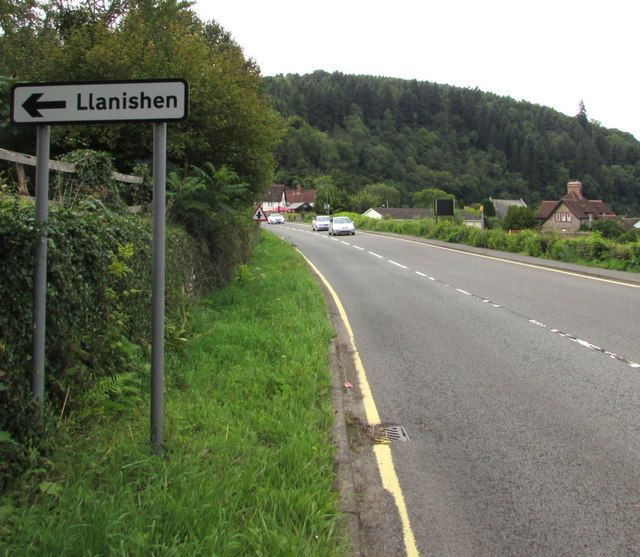
Image: © Jaggery Taken: 16 Aug 2017
The sign alongside the A466 is about 175 metres from the Forge Road junction. http://www.geograph.org.uk/photo/3819025 Forge Road leads to Llanishen (Monmouthshire). Image
Images are licensed for reuse under creativecommons.org/licenses/by-sa/2.0
Image Location
Latitude
51.697229
Longitude
-2.67955