London Countryway in Surrey (26)
Introduction
The photograph on this page of London Countryway in Surrey (26) by Shazz as part of the Geograph project.
The Geograph project started in 2005 with the aim of publishing, organising and preserving representative images for every square kilometre of Great Britain, Ireland and the Isle of Man.

There are currently over 7.5m images from over 14,400 individuals and you can help contribute to the project by visiting https://www.geograph.org.uk
London Countryway in Surrey (26)
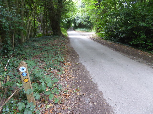
Image: © Shazz Taken: 16 Aug 2017
Having failed to find the right path going west from Wolfs Road I carried on northwards and turned onto the Greensand Way. The "right path" may be Image
Images are licensed for reuse under creativecommons.org/licenses/by-sa/2.0
Image Location
Latitude
51.253025
Longitude
0.011335