Moat and Cobden Field
Introduction
The photograph on this page of Moat and Cobden Field by Simon Carey as part of the Geograph project.
The Geograph project started in 2005 with the aim of publishing, organising and preserving representative images for every square kilometre of Great Britain, Ireland and the Isle of Man.

There are currently over 7.5m images from over 14,400 individuals and you can help contribute to the project by visiting https://www.geograph.org.uk
Moat and Cobden Field
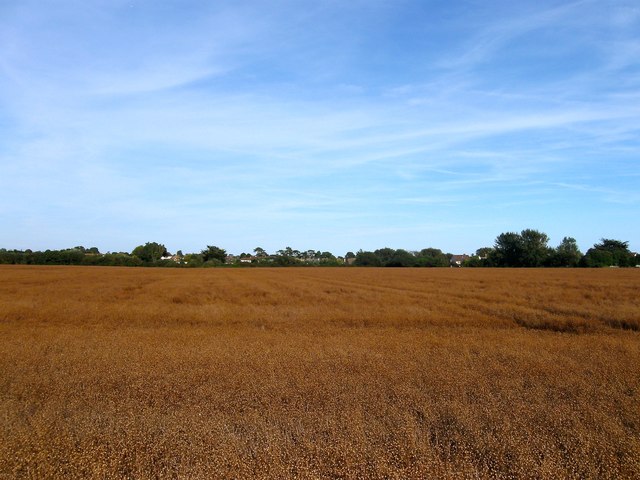
Image: © Simon Carey Taken: 13 Aug 2017
The name of the field according to Kingston's 1841 tithe map that has been merged with Image to the east and Image to the north to form a larger unit. Marked as a single field on the tithe survey despite the two names with the southern part lost to the development of Kingston Gorse.
Images are licensed for reuse under creativecommons.org/licenses/by-sa/2.0
Image Location
Latitude
50.805755
Longitude
-0.459129