Path of Chesterfield Canal, Fisheries
Introduction
The photograph on this page of Path of Chesterfield Canal, Fisheries by David Morris as part of the Geograph project.
The Geograph project started in 2005 with the aim of publishing, organising and preserving representative images for every square kilometre of Great Britain, Ireland and the Isle of Man.

There are currently over 7.5m images from over 14,400 individuals and you can help contribute to the project by visiting https://www.geograph.org.uk
Path of Chesterfield Canal, Fisheries
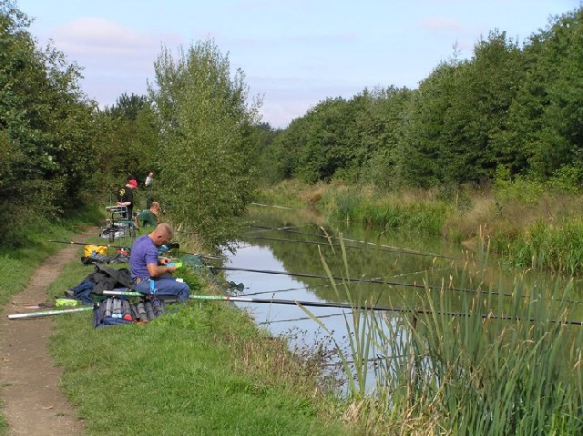
Image: © David Morris Taken: 18 Sep 2005
KJS Fisheries in Killamarsh have a stretch of the old Chesterfield Canal route set aside for fishing. There's no navigable access (yet), but it's a popular location as can be seen.
Images are licensed for reuse under creativecommons.org/licenses/by-sa/2.0
Image Location
Latitude
53.319565
Longitude
-1.333447