Iver Station
Introduction
The photograph on this page of Iver Station by Stephen McKay as part of the Geograph project.
The Geograph project started in 2005 with the aim of publishing, organising and preserving representative images for every square kilometre of Great Britain, Ireland and the Isle of Man.

There are currently over 7.5m images from over 14,400 individuals and you can help contribute to the project by visiting https://www.geograph.org.uk
Iver Station
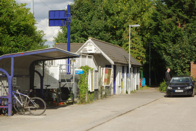
Image: © Stephen McKay Taken: 15 Aug 2017
The station at Iver, which should perhaps more accurately be named Richings Park, was opened in 1924 - some 86 years after the GWR main line. It has long enjoyed a relatively quiet existence in a semi-rural area between the London suburbs and Slough, but from 2019 it will become a stop on the Elizabeth Line offering through journeys across London.
Images are licensed for reuse under creativecommons.org/licenses/by-sa/2.0
Image Location
Latitude
51.508424
Longitude
-0.506296