Gorse Hill Lane
Introduction
The photograph on this page of Gorse Hill Lane by Marathon as part of the Geograph project.
The Geograph project started in 2005 with the aim of publishing, organising and preserving representative images for every square kilometre of Great Britain, Ireland and the Isle of Man.

There are currently over 7.5m images from over 14,400 individuals and you can help contribute to the project by visiting https://www.geograph.org.uk
Gorse Hill Lane
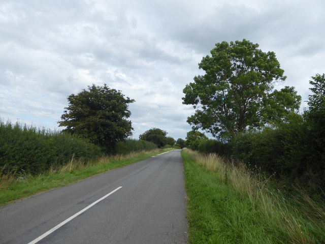
Image: © Marathon Taken: 12 Aug 2017
This is the Trent Valley, although the nearest river behind where I am standing is the Witham before the Trent is reached. The River Brant is a short way ahead. The view is from the crossroads where Stragglethorpe Lane is reached.
Images are licensed for reuse under creativecommons.org/licenses/by-sa/2.0
Image Location


Leaflet Map data © OpenStreetMap
Latitude
53.037315
Longitude
-0.6461