Tim's Well Batch to Dark Lane
Introduction
The photograph on this page of Tim's Well Batch to Dark Lane by Neil Owen as part of the Geograph project.
The Geograph project started in 2005 with the aim of publishing, organising and preserving representative images for every square kilometre of Great Britain, Ireland and the Isle of Man.

There are currently over 7.5m images from over 14,400 individuals and you can help contribute to the project by visiting https://www.geograph.org.uk
Tim's Well Batch to Dark Lane
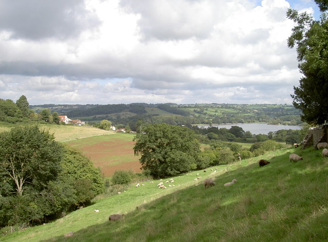
Image: © Neil Owen Taken: 15 Aug 2017
The Mendips are awash with issues and springs, which have carved out a distinctive landscape in places. Here in Blagdon, Tim's Well valley rolls down to the lake, but not before taking in Dark Lane.
Images are licensed for reuse under creativecommons.org/licenses/by-sa/2.0
Image Location


Leaflet Map data © OpenStreetMap
Latitude
51.330262
Longitude
-2.71315