Edge of wheat field below Merrington Road
Introduction
The photograph on this page of Edge of wheat field below Merrington Road by Trevor Littlewood as part of the Geograph project.
The Geograph project started in 2005 with the aim of publishing, organising and preserving representative images for every square kilometre of Great Britain, Ireland and the Isle of Man.

There are currently over 7.5m images from over 14,400 individuals and you can help contribute to the project by visiting https://www.geograph.org.uk
Edge of wheat field below Merrington Road
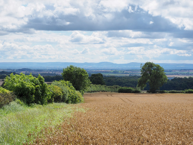
Image: © Trevor Littlewood Taken: 15 Aug 2017
Merrington Road, just west from Ferryhill, is behind the camera position. The distant upland is the North Yorkshire Moors.
Images are licensed for reuse under creativecommons.org/licenses/by-sa/2.0
Image Location
Latitude
54.681149
Longitude
-1.577178