Nearing Lark Hall
Introduction
The photograph on this page of Nearing Lark Hall by John Sutton as part of the Geograph project.
The Geograph project started in 2005 with the aim of publishing, organising and preserving representative images for every square kilometre of Great Britain, Ireland and the Isle of Man.

There are currently over 7.5m images from over 14,400 individuals and you can help contribute to the project by visiting https://www.geograph.org.uk
Nearing Lark Hall
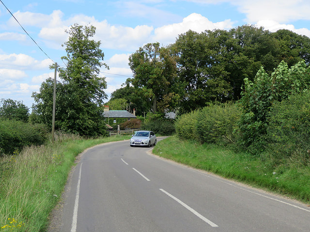
Image: © John Sutton Taken: 15 Aug 2017
A stationary cyclist's view from the side of the West Wratting to Six Mile Bottom road.
Images are licensed for reuse under creativecommons.org/licenses/by-sa/2.0
Image Location
Latitude
52.166749
Longitude
0.315062