View along the footbridge connecting Sir John Mcdougall Gardens with the Quarterdeck development
Introduction
The photograph on this page of View along the footbridge connecting Sir John Mcdougall Gardens with the Quarterdeck development by Robert Lamb as part of the Geograph project.
The Geograph project started in 2005 with the aim of publishing, organising and preserving representative images for every square kilometre of Great Britain, Ireland and the Isle of Man.

There are currently over 7.5m images from over 14,400 individuals and you can help contribute to the project by visiting https://www.geograph.org.uk
View along the footbridge connecting Sir John Mcdougall Gardens with the Quarterdeck development
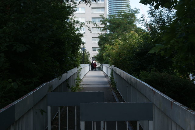
Image: © Robert Lamb Taken: 13 Aug 2017
Looking east.
Images are licensed for reuse under creativecommons.org/licenses/by-sa/2.0
Image Location


Leaflet Map data © OpenStreetMap
Latitude
51.497654
Longitude
-0.027043