Little Smarden House, The Street
Introduction
The photograph on this page of Little Smarden House, The Street by John Baker as part of the Geograph project.
The Geograph project started in 2005 with the aim of publishing, organising and preserving representative images for every square kilometre of Great Britain, Ireland and the Isle of Man.

There are currently over 7.5m images from over 14,400 individuals and you can help contribute to the project by visiting https://www.geograph.org.uk
Little Smarden House, The Street
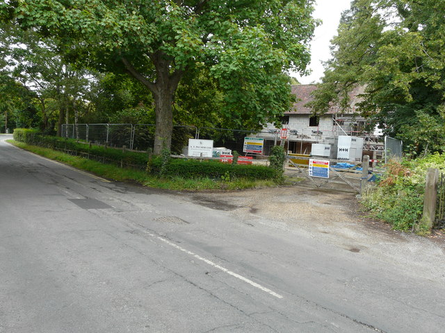
Image: © John Baker Taken: 23 Jul 2017
Planning permission was granted by Ashford Borough Council under application number 16/00872/AS for a “two storey rear extension, 2 roof lights to rear elevation, 2 chimneys, changes to external elevations vertical clay tile hanging, changes to fenestration, hip to gable extension on west elevation of main dwellings, single storey link extension from main house to garage, front extension of garage and formation of cellar under garage”.
Images are licensed for reuse under creativecommons.org/licenses/by-sa/2.0
Image Location
Latitude
51.149879
Longitude
0.690933