Sea Lane, Ferring
Introduction
The photograph on this page of Sea Lane, Ferring by Simon Carey as part of the Geograph project.
The Geograph project started in 2005 with the aim of publishing, organising and preserving representative images for every square kilometre of Great Britain, Ireland and the Isle of Man.

There are currently over 7.5m images from over 14,400 individuals and you can help contribute to the project by visiting https://www.geograph.org.uk
Sea Lane, Ferring
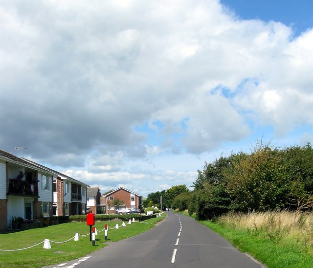
Image: © Simon Carey Taken: 6 Aug 2017
An ancient lane that once linked the village centre to the sea providing access to the fields. Today it marks the eastern boundary with open fields still separating the southern part of the settlement with neighbouring Goring.
Images are licensed for reuse under creativecommons.org/licenses/by-sa/2.0
Image Location
Latitude
50.806332
Longitude
-0.441653