Smugglers Cottage, Ferring Street, Ferring
Introduction
The photograph on this page of Smugglers Cottage, Ferring Street, Ferring by Simon Carey as part of the Geograph project.
The Geograph project started in 2005 with the aim of publishing, organising and preserving representative images for every square kilometre of Great Britain, Ireland and the Isle of Man.

There are currently over 7.5m images from over 14,400 individuals and you can help contribute to the project by visiting https://www.geograph.org.uk
Smugglers Cottage, Ferring Street, Ferring
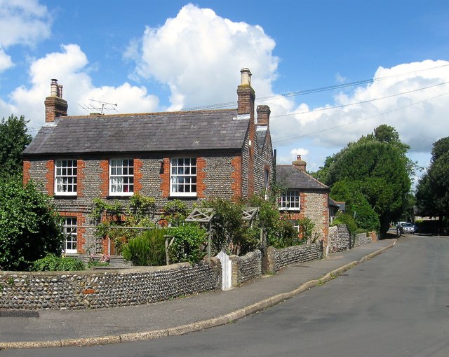
Image: © Simon Carey Taken: 6 Aug 2017
A flint cottage and its former outbuilding beyond date from the late 18th/early 19th century and as the name suggests was used for storage during the smuggling era.
Images are licensed for reuse under creativecommons.org/licenses/by-sa/2.0
Image Location
Latitude
50.813067
Longitude
-0.447675