Maytree Cottage/Evergreen Cottage, Church Lane/Ferring Street, Ferring
Introduction
The photograph on this page of Maytree Cottage/Evergreen Cottage, Church Lane/Ferring Street, Ferring by Simon Carey as part of the Geograph project.
The Geograph project started in 2005 with the aim of publishing, organising and preserving representative images for every square kilometre of Great Britain, Ireland and the Isle of Man.

There are currently over 7.5m images from over 14,400 individuals and you can help contribute to the project by visiting https://www.geograph.org.uk
Maytree Cottage/Evergreen Cottage, Church Lane/Ferring Street, Ferring
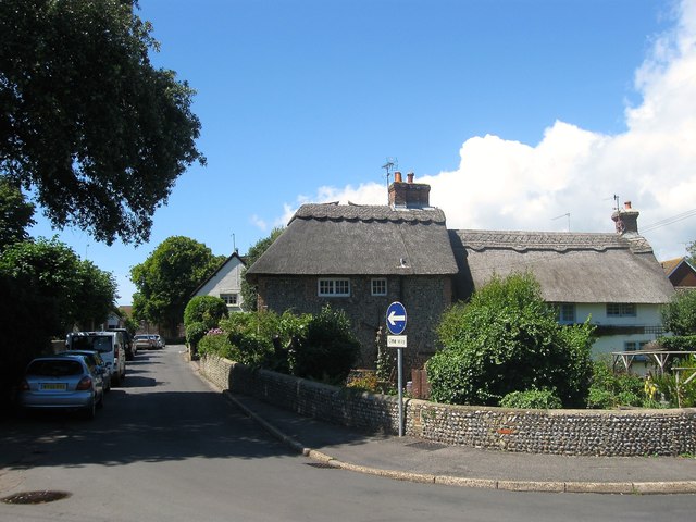
Image: © Simon Carey Taken: 6 Aug 2017
Evergreen Cottage on the right dates from the 17th century and is located in Ferring Street. Maytree Cottage on the left was an 18th century extension and is officially addressed in Church Lane. Both are now separate dwellings.
Images are licensed for reuse under creativecommons.org/licenses/by-sa/2.0
Image Location
Latitude
50.812891
Longitude
-0.447965