Cyclists on the Camel Trail near Scarlett's Well
Introduction
The photograph on this page of Cyclists on the Camel Trail near Scarlett's Well by Rod Allday as part of the Geograph project.
The Geograph project started in 2005 with the aim of publishing, organising and preserving representative images for every square kilometre of Great Britain, Ireland and the Isle of Man.

There are currently over 7.5m images from over 14,400 individuals and you can help contribute to the project by visiting https://www.geograph.org.uk
Cyclists on the Camel Trail near Scarlett's Well
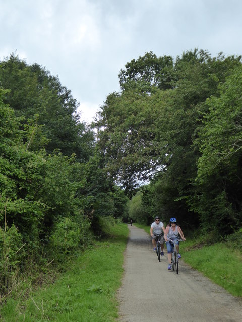
Image: © Rod Allday Taken: 1 Aug 2017
The Camel Trail is an 18 mile largely traffic free, surfaced and virtually level multi use trail which provides access to the beautiful Cornish countryside along a disused railway line between Wenfordbridge, Bodmin, Wadebridge and Padstow.
Images are licensed for reuse under creativecommons.org/licenses/by-sa/2.0
Image Location
Latitude
50.474789
Longitude
-4.738836