Detail of a primitive milestone near Lower Kernick
Introduction
The photograph on this page of Detail of a primitive milestone near Lower Kernick by Rod Allday as part of the Geograph project.
The Geograph project started in 2005 with the aim of publishing, organising and preserving representative images for every square kilometre of Great Britain, Ireland and the Isle of Man.

There are currently over 7.5m images from over 14,400 individuals and you can help contribute to the project by visiting https://www.geograph.org.uk
Detail of a primitive milestone near Lower Kernick
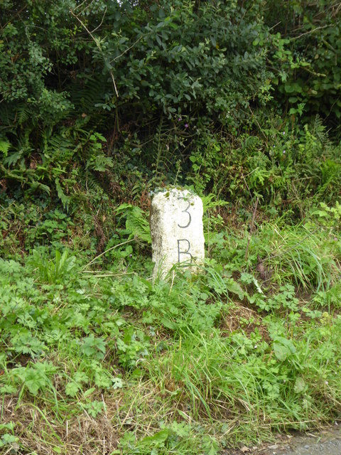
Image: © Rod Allday Taken: 1 Aug 2017
The stone signifies 3 miles to Bodmin and it sits on an historic route around the west side of Bodmin Moor. For context see Image
Images are licensed for reuse under creativecommons.org/licenses/by-sa/2.0
Image Location


Leaflet Map data © OpenStreetMap
Latitude
50.512003
Longitude
-4.697543