Access to the Foss Island Path
Introduction
The photograph on this page of Access to the Foss Island Path by Chris Heaton as part of the Geograph project.
The Geograph project started in 2005 with the aim of publishing, organising and preserving representative images for every square kilometre of Great Britain, Ireland and the Isle of Man.

There are currently over 7.5m images from over 14,400 individuals and you can help contribute to the project by visiting https://www.geograph.org.uk
Access to the Foss Island Path
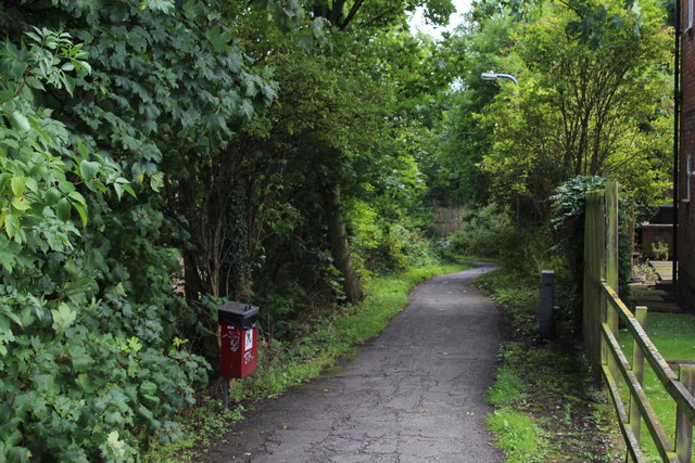
Image: © Chris Heaton Taken: 9 Aug 2017
Grants access from Heworth Green - the A1036; onto the cycle path to Foss Island on a former railway track
Images are licensed for reuse under creativecommons.org/licenses/by-sa/2.0
Image Location
Latitude
53.966044
Longitude
-1.068465