Elm Tree Farm Holwell
Introduction
The photograph on this page of Elm Tree Farm Holwell by Mike Searle as part of the Geograph project.
The Geograph project started in 2005 with the aim of publishing, organising and preserving representative images for every square kilometre of Great Britain, Ireland and the Isle of Man.

There are currently over 7.5m images from over 14,400 individuals and you can help contribute to the project by visiting https://www.geograph.org.uk
Elm Tree Farm Holwell
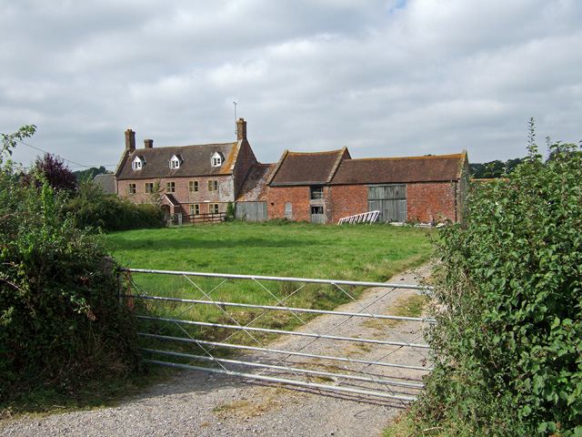
Image: © Mike Searle Taken: 6 Sep 2007
The farmhouse is probably early C18, with to the right, early C19 outbuildings. All are Grade II Listed.
Images are licensed for reuse under creativecommons.org/licenses/by-sa/2.0
Image Location
Latitude
50.896119
Longitude
-2.41543